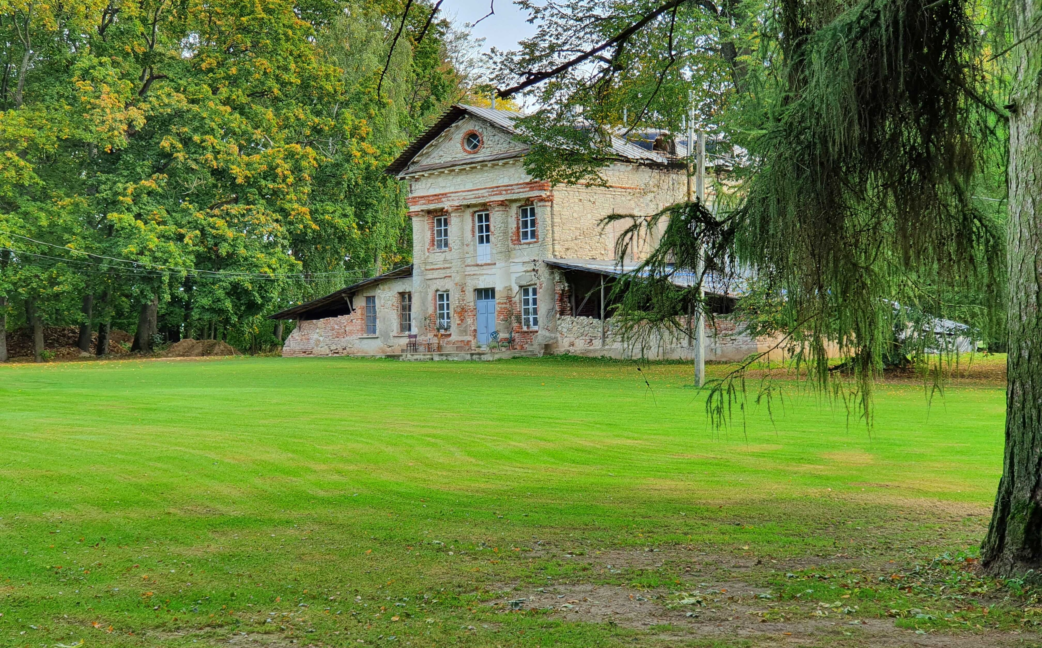

Mantagailiškis Manor
- Home
- Map of Castles and Manors
- Mantagailiškis Manor
Mantagailiškis Manor and park 1645 in Juozapas Narūnavičius-Noranskis drawn map of the Duchy of Biržai is marked as a land of Mr. Montygailas. Later the manor was ruled by Kušelevskiai (XVIII) and barons Holšteinai (XIX-XX).
The manors teritory takes up about 25 hectars: a pond, Gojelis-park, alleys and representative part of the manors teritory. The manor also has 25 ha of cultivated land. Near the manors farmstead a settlement of 4-5 centuries was found. Gojelis is a unique old park with old trees and many karst spouts. It is mentioned as an old pagan sacred place, called Gojus. The park stands out because of the many swallowholes, old trees and biodiversity.
Owners are planing to provide visitors with services that are aimed at the inner world of a person. A chapel will be built on the teritory of the manor and a place for concerts and similar activities, also a centre for spiritual growth. There are also plans to create educational trails inside Gojelis and to engage in biotourism.